| Photo |
 |
 |
| Marker # |
83 |
84 |
| County |
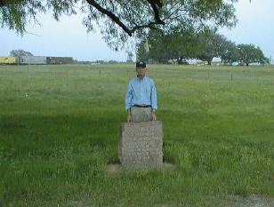
Bexar |
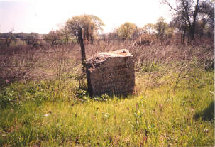
Bexar |
V. N. Zivley's Field Notes
(abstracted) |
Salado Creek crosses the road about half way between #82
and #83. |
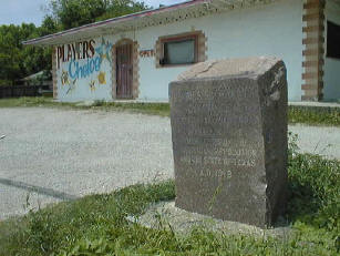
Past Haggs Store -- past the Cementvile Commissary -- past
West Texas Military School and across Los Alamos into the city of San
Antonio and San Pedro Park bordered by N. Flores and Ashby Streets. |
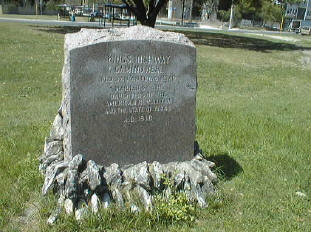
Highway
Intersection |
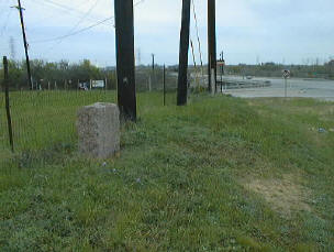
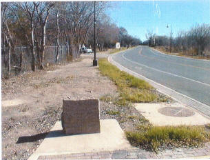
1100 N.E. Loop 410 -- intersection of Nacogdoches Road and
Loop 410. |
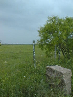
Near the Southeast corner of the intersection of Hickman
and North Flores Streets in San Pedro Park. |
| City |
San Antonio |
San Antonio |
Additional
Description |
May have been moved when Loop 410 was constructed but is
in the approximate original location. |
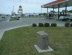
Near San Antonio Community College on San Pedro Avenue. |
Other
Comments |
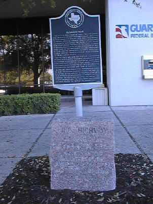
At the East entrance to Guaranty Federal Bank |
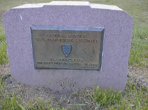
Site of State Regent Norvell dedication of the Markers in
1919 and rededication in 1997 by State Regent Stegall. |
Rededication
Ceremony |
Ol' Shavano Chapter in San Antonio |
Texas State DAR Conference in 1997. |
Other
Historic
Marker |
State |
State |
GPS
Coordinates |
|
29°26.76
-98°30.20 |