| Photo |
 |
 |
| Marker # |
97 |
98 |
| County |
Atascosa |
Atascosa |
V. N. Zivley's Field Notes
(abstracted) |
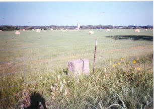
Past Lagunaella Creek and the Bundy Ranch. |
Where the Kings Highway crosses San Miguel Creek on the
S. A. U. & G. R. R. line. |
Highway
Intersection |
Co. Rd. 347 -- 2 miles South of the intersection of St.
Hwy 97 and Co. Rd. 347. |
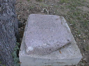
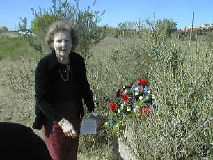
THIS MARKER IS ON PRIVATE
PROPERTY. |
| City |
Pleasanton |
|
Additional
Description |
On the East fence line of Co. Rd. 347 facing West. |
|
Other
Comments |
|
|
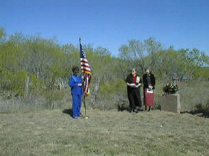
Rededication
Ceremony |
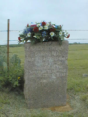
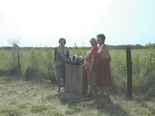
Atascosa Chapter in Pleasanton |
No rededication ceremony is planned. |
Other
Historic
Marker |
|
|
GPS
Coordinates |
28°46.96
98°44.42 |
|
| The Kings Highway goes through
4 Counties traveling South and West from Atascosa County to the Rio Grande
and the border with Mexico. Those Counties, in geographical order, are
Frio, La
Salle, Dimmit and Maverick. The Kings Highway cuts across a corner
of Frio County for a short distance. There are no DAR Chapters in these
Counties. Distances and travel time very quickly become prohibitive.
Therefore, no rededication ceremonies are planned for the Markers that are
on public land in these Counties. There are no Markers on public land in
Frio and Maverick Counties. |
Next County is
Frio.
Previous County is Bexar. |